自分のやりたい仕事をするのに、仕事の稟議が邪魔になることは、結構あります。
There are quite a few cases where the approval process for work gets in the way of doing the job you want.
会社の稟議を通せば、会社の費用で仕事ができます(当たり前ですが)。
If you get the company's approval, you can do your work at the company's expense (obviously).
もちろん、自分の手に届かない金額の設備投資なら、それしか方法がありませんが、私は自分の手に届く金額であれば、迷わず、自腹で契約や購入をして、とっとと作業に着手します。
Of course, if the investment is more than I can afford, that's the only option, but if it's within my budget, I don't hesitate to sign the contract or make the purchase myself and get straight to work.
-----
私にとって、この基準となる金額は「1回の飲み会にかかる費用」との比較です。
This standard amount is based on the cost of a single drinking session.
私が個人で契約しているITサービス(AWS, Web, Deepl, ChatGPT)は、全て、会社の飲み会のコストより安いです(かなり安い)。
All of the IT services (AWS, Web, Deepl, ChatGPT) that I have subscribed to individually are cheaper than the cost of a company drinking party (much cheaper).
例えば、私の運用している、このWebのプラットフォームの利用料金は、月額500円です(消費税、ネームサービス料金を除く)。昼飯より安いです。
For example, the fee for using the web platform I operate is 500 yen per month (excluding consumption tax and name service fees). It's cheaper than lunch.
逆に言えば、これらのサービスを使うことで、『私は毎週飲みに行っているだけの金額を、サービスに支払っている』という解釈もできます。
Conversely, you could also interpret it as Ebata paying for the service with the money he would have spent going out for drinks every week.
飲み会は、コミュニケーション場であり、また、人脈作りのチャンスでもありますので、『どっちがいい』とは、一概には言えません。
Since drinking parties are both a place for communication and a chance to make contacts, it is impossible to say which is better.
-----
私は、私の日記(ブログ)に記載できるようなネタを拾えるのであれば、飲み会だって、なんだって参加したいと思っています。
I'm willing to participate in drinking parties and other events if I can pick up material for my diary (blog).
でもなあ ―― 社内の人事やら、どの事業部が金を持っているだの話なんぞ聞いても、正直、酒が不味くなるだけです(私は飲みませんが)。
But, to be honest, listening to things like internal personnel matters or which department has the money makes the alcohol taste terrible (I don't drink).
サッカーも、野球も、将棋も、自分と関係のない赤の人の才能を称えることや、逆に落しめることも、私は1mmも興味がありません。
I have no interest in praising or belittling the talents of people I don't know, whether it's soccer, baseball, or shogi.
そんでもって、イスラムも、ハマスも、パレスチナも、ガザも、教育も、少子化も、国防も、外交も、そして、結婚も、恋愛についても、持論を一席も打てんような奴と、一緒に飯を食って『一体何が楽しい?』と思うことはあります。
And I sometimes wonder what the fun is of eating with someone who can't even hold a coherent argument on Islam, Hamas, Palestine, Gaza, education, the declining birthrate, national defense, diplomacy, marriage, or even love.
(もちろん、私の興味が偏向していることは、自覚しています)
(Of course, I am aware that my interests are biased.)
-----
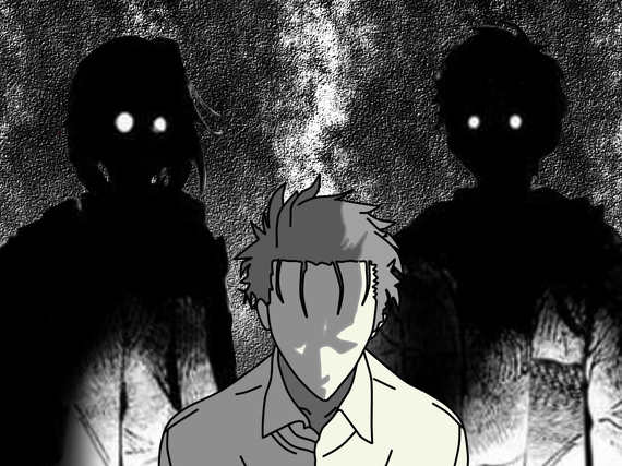
つまるところ、私は「昔から孤立して」いて、「今も孤立して」いて、「将来も孤立/孤独死する」が、ほぼ確定しているシニアなんです。
In short, I am a senior citizen who has “always been isolated”, “is still isolated”, and “will almost certainly die alone/in isolation” in the future.
私は、きちんと仕事します。ノルマも納期も守ります。報告・連絡・相談(ほうれんそう)もちゃんとやります。それができない時には、ちゃんと説明もします。
I do my work correctly. I meet my quotas and deadlines. I also do my reporting, communication, and consultation properly. If I can't do that, I will explain it adequately.
ですので、それ以上のこと(飲み会など)で私に期待するのは、ご勘弁頂いたいのです。
Please don't expect me to do anything else (such as going out for drinks).
-----
そういえば、娘(長女)の結婚披露宴の時も、同じテーブルの家族や親戚と会話しながら食事をしていました。
I also ate at my daughter's (eldest daughter's) wedding reception while chatting with the family and relatives at the same table.
他のテーブルに、酌をして回るようなことは、一切しませんでした。
I did not go around pouring sake/beer at other tables.
そして、他の人から、お酌されることもありませんでした。
And I was never poured sake/beer by anyone else.
私の体から、そういうオーラ(『私に構うな』オーラ)が出ていたのかもしれません。
Maybe I was giving off that aura (“leave me alone”).